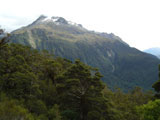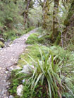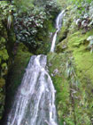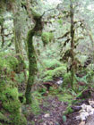
Routeburn track is one of most popular track in New Zealand. During high season it is a reservation neccessary because amount of hikers on the track is limited. Every year more then 13 000 people hikes the track. Track leads through Mount Aspiring and Fiordland national parks and is 32 kilometers long.
First white men who were mapping this area were David McKellar and George Gunn. They climbed on 9th June 1861 the summit of Key Summit. The track was used by Maori who travelled here looking for Jade (green stone). Later the same way was used by white prospectors who travelled to Hollyford River, Whakatipu Ka Tuka and other valleys on the west.
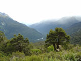
Tourist came here since around 1870. Most of huge valleys were made by glacier. That is how they got their U-shape. You can find here plenty of lakes and ponds. Beech forests dominate. I hike only the most western part of the track where I got by Greenstone Track. These track is possible to combinate together with others and to hike in several loops.


