


Notice: Time - includes short stops at traffic lights, studying the map, etc.
| Day | 18. |
| Date | 9.10.2001 |
| Distance [miles] | 59,87 |
| Time | 5:01:24 |
| Average speed [miles/hour] | 11,9 |
| Total Distance [miles] | 796,5 |
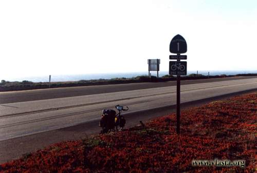
I passed through Morro Bay. It is a small town, but not a cheap one. A few kilometres north of the town, the dedicated bike lane ended and Route 1 became narrower. The coast was not rocky here, so the road was mostly flat. I decided to stay at a cosy, grassy campground in San Simeon State Park.
| Day | 19. |
| Date | 10.10.2001 |
| Distance [miles] | 83 |
| Time | 6:56:51 |
| Average speed [miles/hour] | 12 |
| Total Distance [miles] | 879,5 |
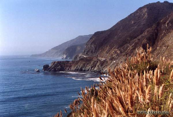
The coast began to change near Ragged Point, where the land rises steeply. After a short climb, I could admire beautiful cliffs from the many viewpoints along the road. The road was narrow and winding here, but it still felt fairly safe because even cars had to drive slowly. The Pacific coast between San Francisco and L.A. is very popular with cyclists from all over the world. It is better to travel from north to south because you are closer to the coast and have better views. But probably the more important reason is the wind, which is usually at your back. I was travelling in the opposite direction, and it is true that several times the headwind was quite strong.
Unfortunately, I could not find any campground before Big Sur. The strip of land between the road and the ocean is very narrow, with rocky cliffs, and whenever I saw a good place to spend the night, it was private property. Well, I had to keep going and climb another long hill. On the other side, in Big Sur, there were several campgrounds. All except one were quite expensive ($25/site,...). They were in a forest with the same kind of trees as in Redwood. The northernmost campground was Andraem SP, with "my" price of $1. This campground was for tents only and was located close to the Pacific coast, outside the dense forest but still among trees.
| Day | 20. |
| Date | 11.10.2001 |
| Distance [miles] | 79,7 |
| Time | 6:37:33 |
| Average speed [miles/hour] | 12 |
| Total Distance [miles] | 959,2 |
The next morning, after a short walk around the campground, I had to tackle another very windy section. Sunshine alternated with cold fog. In these conditions and on the hilly road, I covered the distance between Big Sur and Monterey quite slowly. Everything changed when I reached the Monterey Peninsula. I entered an agricultural area with plenty of strawberry fields. I even saw a tractor flying the Mexican flag.

At first, I wanted to camp at Sunset State Beach, but just a few kilometres before the park, the Pacific Coast Bike Route turned away. It was getting dark, and for the first time on this trip I had not found a place to sleep. My attempts to get help from Spanish-speaking people were not very successful. It was late, but after another hour I finally reached the beach.