

| Day | 15. |
| Date | 24.7.2004 |
| Distance [km] | 19,64 |
| Time | 02:17:28 |
| Average speed [km/hour] | 8,5 |
| Maximum speed [km/hour] | 47,5 |
| Total [km] | 976,5 |
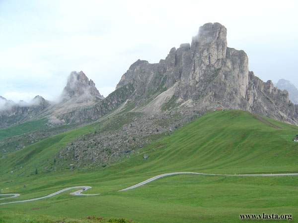
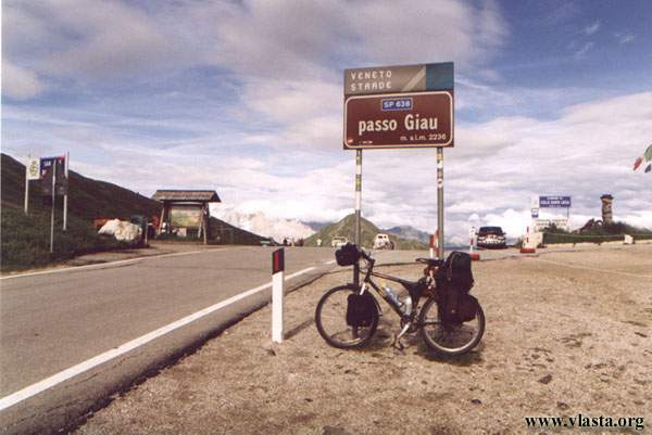
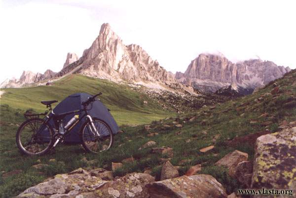
I am not in a hurry to start cycling today, as there is a 1,000 m elevation gain ahead. Check-out at the campsite is by 2 p.m., so I am going to buy some food in town first. I finally leave at noon, and suddenly a light shower becomes my companion. Although it is raining, cycling is easier than I expected. It is cold and wet. I just want to climb up to the Pso di Giau Pass, 2 238 m, which is only about 20 kilometres away. I stop at a restaurant and think about where to pitch my tent. They do not let me camp near the restaurant, so I ride my bike just across the road and camp near hiking trail #436.
| Day | 16. |
| Date | 25.8.2004 |
| Distance [km] | 21,52 |
| Time | 01:09:52 |
| Average speed [km/hour] | 18,4 |
| Maximum speed [km/hour] | 54 |
| Total [km] | 998,3 |
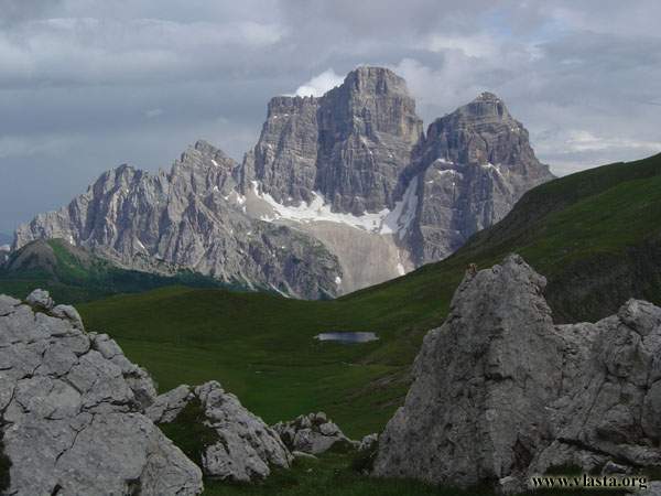
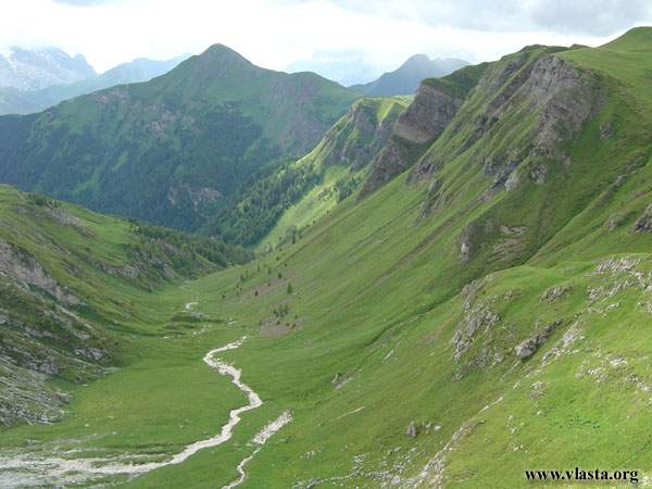
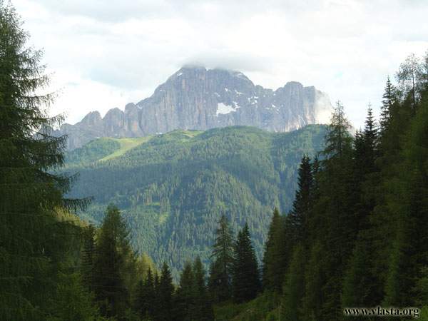
I forgot my passport at the last campsite! I realized it in the morning. I call the campsite and hope they will send my passport by post to my next destination, where I would like to stay for a night in two days. It would not exactly be fun to cycle all the way back to Cortina. Hoping for the best, I take another hike along Lago di Federa. This trek offers nice views of Mt. Pelmo, 3 168 m and Mt. Civetta, 3 220 m. As I have enough time, I do a loop around Croda da Lago. A short rain shower starts just when I reach my bike. After that comes probably the prettiest downhill — 8 kilometres to Selva di Cadore, followed by a 500 m flat section and another downhill to the village of Caprile. I descend from 2 238 m to 998 m. I continue along a nice path with small campsites in the direction of Malga Ciapela. I stay overnight at a cosy campsite by the river.
| Day | 17. |
| Date | 26.8.2004 |
| Distance [km] | 5,77 |
| Time | 00:50:08 |
| Average speed [km/hour] | 6,8 |
| Maximum speed [km/hour] | 22,2 |
| Total [km] | 1004,7 |
It is only about 5 kilometres to the campsite. I stay outside the campsite area to save money. The cycling path takes me through the narrow Serrai di Sottoguda canyon, where you can see several white sculptures. Shortly after that, I check in at the campsite so I can leave my things safely in my tent and spend the whole day hiking. I start hiking at around 9:30 a.m. towards Marmolada, 3 343 m. I am not sure whether I have enough time. Nobody else I meet is hiking all the way to the summit, so I take my time and enjoy the flowers in bloom all around me. Just when it is time to make the final decision about whether I should climb to the top or not, I meet a 63-year-old Slovak. This man moves along the trails like a lizard. I return to the campsite at 8 p.m., tired but happy. As my passport should arrive the next day, I decide to stay one more night and do some more hikes.
| Day | 18. |
| Date | 27.8.2004 |
| Distance [km] | 1,76 |
| Time | 00:09:36 |
| Average speed [km/hour] | 11 |
| Maximum speed [km/hour] | 27,1 |
| Total [km] | 1006,5 |
After yesterday's long hike, I am taking an easy one today. I slowly walk to Cime dell Auta, 2 624 m. I soon have some new company — a police helicopter. Later, I can see it taking off from the Franzedaz homestead. As time is running out, I am wondering what the police are doing here. Are they looking for somebody? I am a little bit nervous. Today's hike is not so short after all. I return to the campsite around six in the evening. Fortunately, my passport is waiting for me at the office. I can move on again tomorrow. Thank you.
| Day | 19. |
| Date | 28.8.2004 |
| Distance [km] | 60,75 |
| Time | 03:48:11 |
| Average speed [km/hour] | 16 |
| Maximum speed [km/hour] | 59,5 |
| Total [km] | 1068,1 |
Today starts with a long, steep uphill. I have an elevation gain of 600 m (from 1 435 m to 2 057 m) at Pso. di Fedaia in only six kilometres. It takes me a whole hour. A biker I meet at the top tells me that I have just managed the most difficult uphill in this area. He recommends that I cycle through Pso di Costalunga, 1 745 m to Bolzano. I follow his advice and cycle through this beautiful area. The uphill is fine (432 m in eight kilometres, from 1 320 to 1 752 m), with nice scenery. I meet Libor (Igor? Sorry, I am not sure about his name anymore) near the summit. He is cycling from the Pyrenees. I change the chain today. It has already done almost 3,000 km. Libor advises me to stay for a night twelve kilometres before Bolzano, as there is a narrow valley and a tunnel without a good place to stay for the night after that.
| Day | 20. |
| Date | 29.8.2004 |
| Distance [km] | 90,66 |
| Time | 05:01:37 |
| Average speed [km/hour] | 18,1 |
| Maximum speed [km/hour] | 53,5 |
| Total [km] | 1159,5 |
An early ride through a deep canyon and probably the longest tunnel, 1,230 m, is fast. After a stop to buy food and a short look around, I continue in the direction of Merano. The cycling path leads along a paved narrow road through apple orchards. I spend the hottest part of the day by a river in Merano. An elevation gain of 1,150 m is spread over the whole 73 kilometres. In the little village of Naturno, I have a pizza for lunch. The waitress is Polish, and I soon meet some other Slovakians working there. I am told that plenty of Czechs, Slovaks and Poles work here... I sleep at a nice campsite near Lasa. The campsite has plenty of drinking water.
| Day | 21. |
| Date | 30.8.2004 |
| Distance [km] | 120,80 |
| Time | 06:47:50 |
| Average speed [km/hour] | 17,8 |
| Maximum speed [km/hour] | 52 |
| Total [km] | 1281,7 |
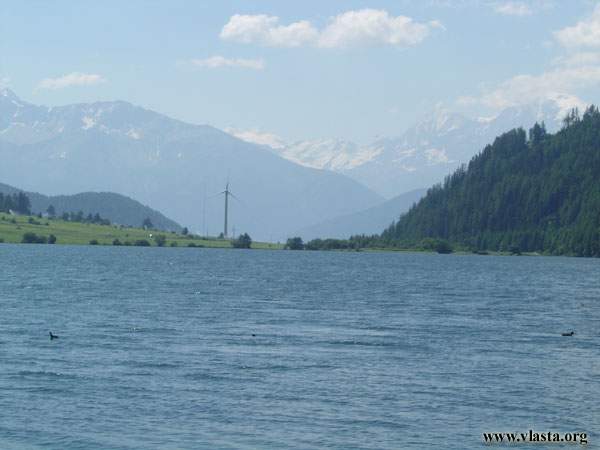
Today I should enter Austria. The last 15 kilometres to the border are steeper. As the path leads through a beautiful area, away from busy roads, it is a pleasant ride. The last section along the banks of two reservoirs is already flat. I eat my last pizza on the border and from Pso. di Resia, 1 504 m I take a long downhill into Austria. The nice descent takes me all the way to the village of Stuben, on the border with Switzerland. I follow the Inn River through Austria and Germany until it flows into the Danube. But tonight I stay near Imst.