

| Day | 8. |
| Date | 17.7.2004 |
| Distance [km] | 60,65 |
| Time | 04:58:48 |
| Average speed [km/hour] | 12,1 |
| Maximum speed [km/hour] | 56,5 |
| Total [km] | 774,7 |
I did not find any bike shop in Bruck, so I had to cycle another four kilometres to Zell am See. A biker I met showed me the way to a bike shop. The shop staff were very helpful, even though I wanted to change the tire myself. The tire cost €14.99. One minute of work would have cost 60 cents. A pair of brake shoes cost €7. I later had to buy another pair of brake shoes in Cortina d'Ampezzo in the Italian Dolomites for €5. At first, he offered me a pair for €15.
I started pedalling uphill at around 9:30 a.m. The biggest elevation gain (1,800 m) was just ahead. The road over Grossglockner leads through the largest Austrian national park, Hohe Tauern. The several-hour-long climb was easier thanks to an American couple. They ride bikes with a horizontal pedalling position. They go very, very slowly. If I went at the same speed, I would fall over. But I waited for them every few kilometres and we had lunch together. Heavy rain with hailstones caught me on the section between the tunnels near the summit. I tried to hide at least a little behind a cross. Luckily, the rain did not last long. I spent the night in a hayloft on the southern slope.
| Day | 9. |
| Date | 18.7.2004 |
| Distance [km] | 95,97 |
| Time | 05:07:18 |
| Average speed [km/hour] | 18,7 |
| Maximum speed [km/hour] | 57,5 |
| Total [km] | 872,2 |
I got back onto the cycle path near Großkirchheim and shortly afterwards was surprised to meet Roman from Brno. I enjoyed the beautiful scenery as I followed the Möll River all the way to the village of Vinklem. The whole stretch was downhill. The weather was perfect for cycling. After a short, approximately three-kilometre climb to a pass at 1,205 m, there was a long downhill stretch to Lienz. Unfortunately, all the supermarkets were closed on Sunday. I did not stay longer in the city and followed the Drava River, hidden in the shade of a deep valley. There were plenty of cyclists, including whole families cycling in the opposite direction (downstream). I entered Italy today. I had enough time to reach the Dolomites, but as I wanted to buy some food, I decided to stay near the village of Toblach.
| Day | 10. |
| Date | 19.7.2004 |
| Distance [km] | 24,86 |
| Time | 02:01:28 |
| Average speed [km/hour] | 12,2 |
| Maximum speed [km/hour] | 30,5 |
| Total [km] | 897,7 |
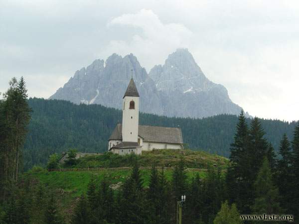
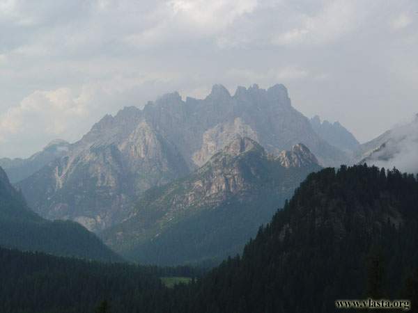
I bought some supplies in the little town of Toblach in the morning. After that, I turned south and, following the road along Toblacher See Lake, entered the Dolomites. I do not know why cycling was so hard, as the climb did not look particularly steep. I had to take a break at Düren See. I reached the Alla Baita campsite around noon. The campsite is situated near Misurina Lake. The price was €(4+6 per person plus a tent). I could recharge my batteries at the reception.
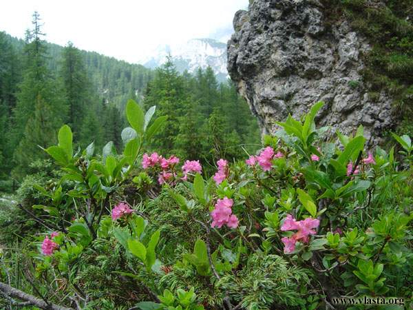
Shortly after setting up my tent, I headed out on my first hike along hiking trails #118, #115 and #117. These trails lead to Rif. Fonda Savio.
| Day | 11. |
| Date | 20.7.2004 |
| Distance [km] | 7,82 |
| Time | 00:30:21 |
| Average speed [km/hour] | 15,4 |
| Maximum speed [km/hour] | 44,5 |
| Total [km] | 905,9 |
I packed up my tent in the morning and cycled to the toll gate on the road to Tre Cime di Lavaredo. The collector was so kind that he let me leave my bike with all the panniers on it under his supervision while I went hiking. I took hiking trail #101. I reached Rif. Auronzo in an hour. There was a crowded parking lot here, as this is the end of the road. I continued along #101, where it looked like Wenceslas Square in Prague. One of the symbols of the Dolomites - Tre Cime di Lavaredo - was covered by clouds and fog most of the time. When I reached #104, the number of people started to decrease. It was so beautiful that I could hardly believe such an exotic place was so close to my homeland. When I returned to the toll gate at around 6 p.m., I could not find my bike. There had been storms in the afternoon, so the collector had taken my heavy, locked bike with all the panniers and moved it into the shelter. Thank you once again, good man. I passed Misurina Lake and spent the night in an abandoned house near the road.
| Day | 12. |
| Date | 21.7.2004 |
| Distance [km] | 5,24 |
| Time | 00:32:31 |
| Average speed [km/hour] | 9,6 |
| Maximum speed [km/hour] | 30,5 |
| Total [km] | 912,9 |
After four kilometres, I reached Hot. Tre Croci. I left my bike with all my belongings at a nearby restaurant and started hiking to Rif. Vandelli Sorapis. It was around 10 a.m. Shortly afterwards, I met a group of Czechs on trail #215. I had already met them the day before. I simply joined them for most of the day. I hope I did not look too exhausted, as they shared some salami, bread and fruit with me during a lunch break at Lake Sorapis. Thanks, guys.
We followed trail #216, which starts with a steep climb, and then #213 to return. Once again, when I got back to the restaurant, I could not find my bike. And again, some nice people had moved all my belongings into the shelter because of the rain. What nice, friendly people live in the Dolomites! ;)
I decided to spend the night in the Perosego area. It was just a short ride from here, but the uphill section was so steep that I had to take some panniers off just to be able to push my bike up. The path was steep and covered with gravel. I had to walk up this hill twice - once with the panniers and once with the bike. Just when I reached the top, heavy rain started. I put up my tent and went to sleep....
| Day | 13. |
| Date | 22.7.2004 |
| Distance [km] | 21,88 |
| Time | 01:38:33 |
| Average speed [km/hour] | 13,2 |
| Maximum speed [km/hour] | 37,5 |
| Total [km] | 941,8 |
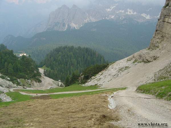
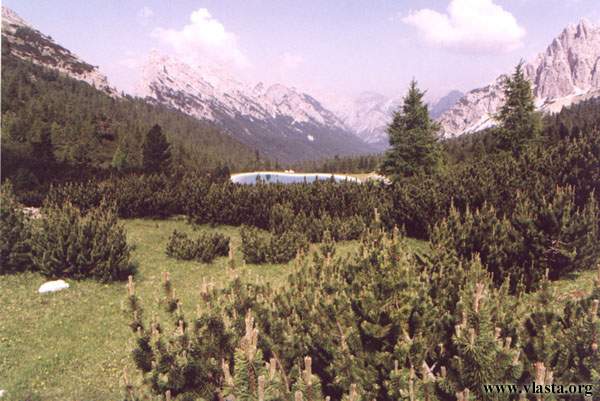
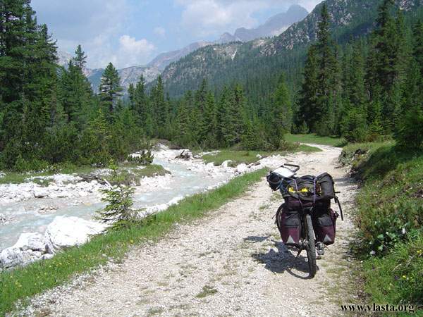
Morning sunshine dried out my wet tent and clothes, which I had spread all around my tent. I had some company - a barmaid from a nearby restaurant was walking her dog and came over to me. Paola also worked at an information centre in Cortina - my next destination. I cycled along official cycling path #203, which leads through the Val Padeon valley. It is beautiful here, but unfortunately the path was damaged by heavy rain. My bike was shaking all the time, and I was worried about my camera. Following path #208 took me along a former railway track. It crossed bridges and went through tunnels. It was a great experience, slightly spoiled by four landslides that I had to cross. Tonight I stayed at the Rocchetta campsite in Cortina d'Ampezzo. I have this place linked to €50 and passport.
| Day | 14. |
| Date | 23.7.2004 |
| Distance [km] | |
| Time | |
| Average speed [km/hour] | |
| Maximum speed [km/hour] | |
| Total [km] | 941,8 |
It was a beautiful sunny morning with a clear sky. I left my bike near the bus station in the city and took a bus to Pso. Falzarego. I got off at Cian Zope and hiked along trail #442 towards my first "via ferrata" and Tofana di Rozes mountain. I spent another night at the same campsite.