Fiordland National Park spreads in southwestern part of New Zealand. It is one of the biggest protected areas in the southern hemisphere. Snow covered peaks, huge glaciers valleys, large forests, wild grass and deep lakes that all you can see here. Together with Aoraki/ Mt Cook and Westland/Tai Poutini and Mt. Aspiring national parks reach 2.6 millions hectares. That presents 10% of New Zealand.
The area never has been much occupied because it's isolation, steep slopes and common rainy weather. Maori hunted birds here, fished and mined nefrid (greenstone). In later times hunters established a several settlements in the fiords.
Over 700 kinds of plants and several unique birds. There are several tracks in the park which some of them are one of the best in the country like: Milford Track (first commercially used in 1889), Kepler Track, Hollyford Track, Routeburn and Hump Ridge Track.
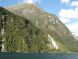
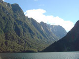
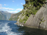
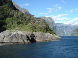
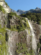
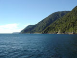
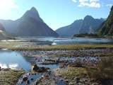
Captain James Cook spent five days in Dusky Sound in 1773. 14 fiords were made by glaciers. in 16 kilometers long Milford Sound is offered a 1,5 hour long cruise. I saw several delphins, sea lions and of course waterfalls during this voyage. In the rain there are hundreds of waterfalls making complete water's walls...This Sound is one of places which have wonderful atmosphere in either sunny or rainy weather. An annual presipitation in this area is 6 526mm and it rains 180 days per year. Dominating the skyline is Mitre Peak, a 1692m pinnacle of rock that forms the world's highest sea cliff and one of the most photographed mountains in New Zealand. The average depth is 300 meters. The rocks of Milford Sound and the rest of Fiordland were formed some 600 million years ago.
Other part of the park which I have visited is Manapouri.
