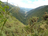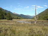
Arthur's Pass National Park has 114 500 hectares. His location is on a historical track between Canterbury and wild western coast in the middle of Southern Alps. The park was established in 1901 like the first on southern island and third in the country.
This pass was used ages ago by Maori when they travelled from one coast to the other one. On the western coast they used to maine greenstone (pounamu). The track was later used by prospectors who were looking for gold.
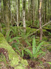
Eastern slopes are covered only with beech forests. On western slopes grow beech, kamahi and kaiakawaka... If you are exactly lucky you can see rare kiwi, roroa, kea, koromiko or bellbirds.
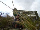
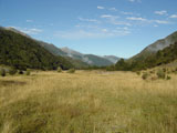
Lewiss Pass and Arthur's Pass it is possible to connect in 4-7 days long hike along the track Harper Pass. The track pass rivers and Sumner Lake (the biggest in the area, 13,5km2) and through forests.
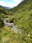
The track has easy or moderate demanding. The track's western section is more difficult and requires many times to cross a river. Track changes to "road" here and is not marked all the time. You need to have experience and to find your own way. It could be impossible to cross the river after heavy rains and you should have extra supplies if you have to wait several days till water drop down. In the "Locke Stream Hut" is a radio. You can use it to get information about weather or in emergency. Flooded rivers are one of a few danger that you can meet in New Zealand. Every year several people died in rivers.


