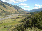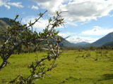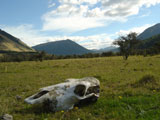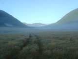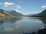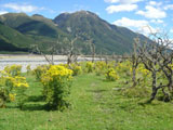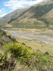
Lake Sumner Forest Park spreads between Lewis Pass and Arthur’s Pass National Park. It is beautiful district of lakes and Alpine mountains with approximately 150 000 hectare. The park is pretty isolated from civilization Park. Summits of mountain ranges are bare, uncovered by forest. Beech forests and grassy meadows take turns in valleys. Besides rivers you can also find in forest hidden Hurunui Hot Springs. Whole district has several tens kilometers long hiking trails which is easy to combine. Trails lead mostly along rivers. You can stay for a night in more than fifteen huts or just build your tent away from official hiking trail.
To get from Lewiss Pass to Arthur's Pass took me 4 days along Harper Pass trail. I would recommend to have more days to do that so you can enjoy hot springs. Eight huts are along the trail. Lowest point of trail has 250 m, highest elevation is has Harper Pass - 963 m. This trail was used by Maori in the past when they walk from eastern to western coast or reverse. Gold-digger used the trail in 70's of 19 th century when they went to discovered gold fields on western coast.
Harper pass trail leads along rivers and Sumner Lake - largest lake in area, 13,5 km2) and through forests. Difficulty is easy to moderate. Western part of trail in Arthur's Pass National Park demands several times river crossing. This trail's part is not marked. In case of heavy rains could be river crossing difficult or impossible. Then you will have to wait usually two days till water level drop down. Take extra food with you. Flooded rivers are the biggest danger for trampers in New Zealand. Several persons died each year in flooded rivers.


